

Mining Software Solutions
Integrated mining solutions
All Your Mine Data, Spatially Connected
Connect surveying, sampling, geological modelling, mine design, scheduling, spatial data, and reporting in one integrated spatial environment.
Mining technology, made practical
Software and services across technical mining disciplines
PrimeThought works with mining companies and consultancies across surveying, sampling, geological modelling, mine design and scheduling, spatial data management, and mining reporting. We shape each engagement around the client's needs, from software and training to high-end consulting.
- Survey
- Sample
- Model
- Design
- Schedule
- Report
An integrated mining suite
Mining products for the complete technical workflow
Use each product independently or combine them to make mining operations smoother, reduce repetitive work, and reach useful results faster.
Mine design
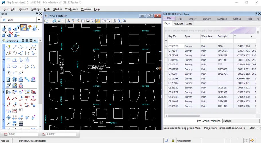
MineModeller
Complete mine surveying package inside the MicroStation environment.
View Product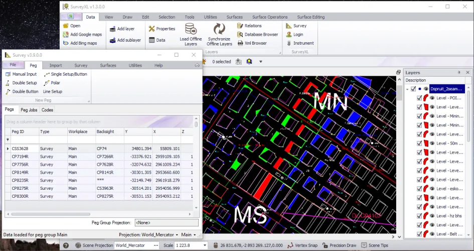
Surveying
SurveyXL
Standalone underground and surface survey package, from calculation to contour.
View Product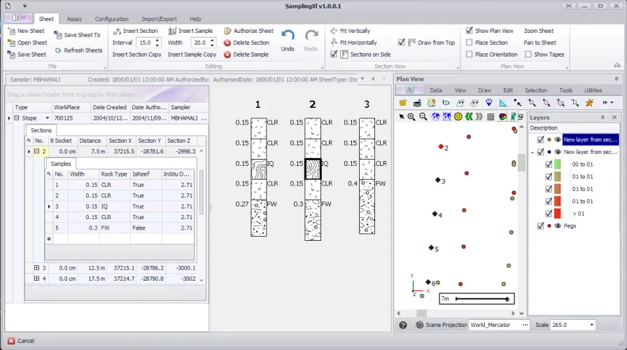
Built for mining data
See technical information in its spatial context
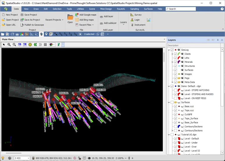
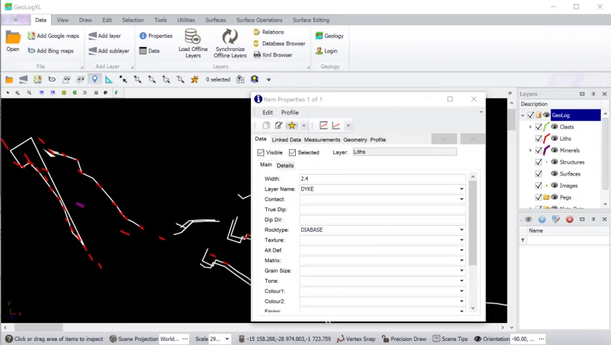
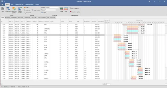
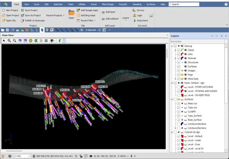
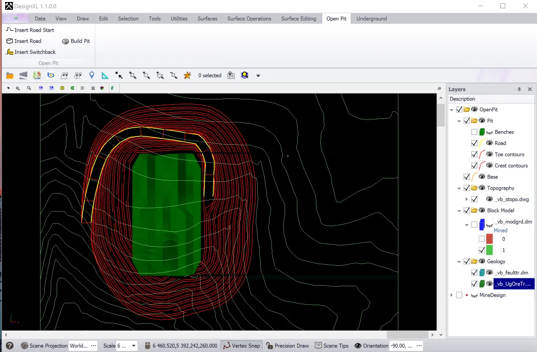
PrimeThought's Mine Services tools help teams work with boreholes, survey observations, samples, geological features, surfaces, designs, and schedules in a visual environment.
Explore SpatialStudio for miningDesigned for real mine work
Solutions across the mining lifecycle
Support better decisions, lower costs, and increased production across key technical areas.
3D spatial databases
Keep technical mine information organized, accessible, and spatially connected.
Surveying solutions
Support day-to-day mine surveying and translate measurements into operational outputs.
Sampling solutions
Capture and manage sampling information across repeatable workflows.
Geological modelling
Build a clearer understanding of geology for resource and production decisions.
Mine design and scheduling
Connect technical design choices with practical production planning.
Spatial reporting
Turn complex mine data into clear visual information for technical and management teams.
Trusted by mining professionals
What our clients say
Real experiences from professionals using PrimeThought software in technical mining workflows.
MineModeller's functionality is better than other products of a similar nature, and it is very user-friendly. Its reliability and plotting accuracy stand out most, along with the fact that it does not accept errors unless knowingly approved by the user.
I have a long-standing relationship with PrimeThought and have always been impressed by the competency and creativity of the team. They make a complex field easy to use and understand, and their mining solutions have helped my work really take off over the years.
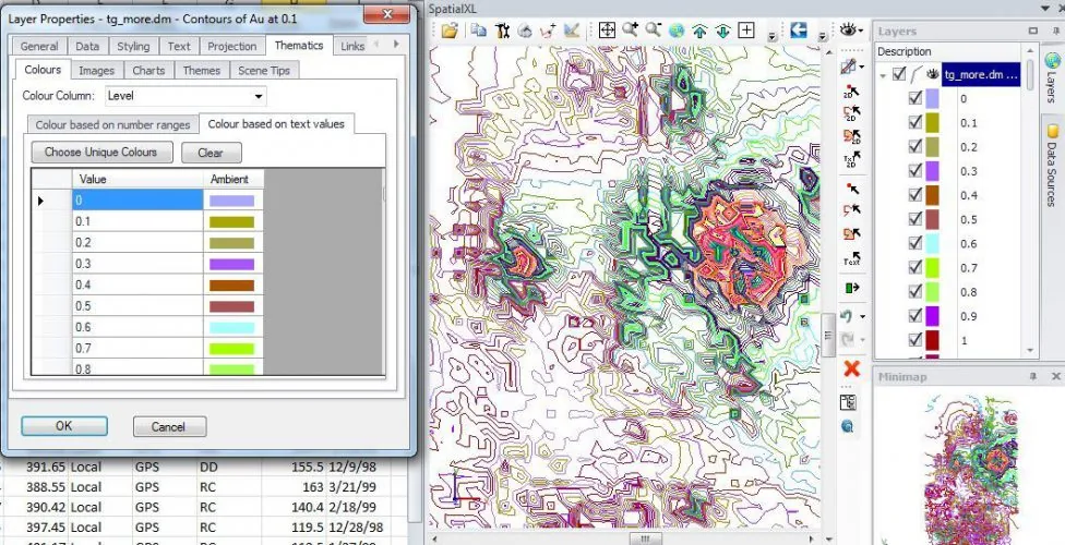
No other product could serve my needs, but SpatialXL can. It lets me view draughting and modelling files in their correct geographic location, build basic 3D shapes, measure, and analyze in Excel—all through a very user-friendly interface.
Why MineServices
Powerful tools without a long learning curve
Our solutions are cost-effective and user-friendly for novice and professional users. Teams can get started in days, build confidence in weeks, and unlock more advanced capability as their skills grow.
Fit the engagement
Choose software, training, consulting, or a collaborative mix.
Work more efficiently
Reduce repetitive effort across technical mining workflows.
Connect disciplines
Keep spatial context visible from field data through reporting.
Grow with the tools
Start with essentials and progress to advanced workflows.
Made for technical teams
One suite, many mining professions
Used by geologists, surveyors, mining engineers, mine planners, mineral resource managers, operators, schedulers, draftspersons, GIS specialists, designers, samplers, and reporting professionals.
Start a conversation
Ready to improve your mining workflow?
Tell us about your technical requirements and we’ll help identify the right software, training, or consulting approach.